
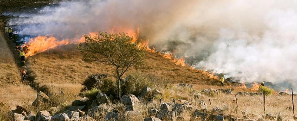
State officials released new fire hazard maps on Monday, showing wildfire risk levels for over 100 cities and 17 California counties: Alameda, Contra Costa, Del Norte, Humboldt, Marin, Mendocino, Merced, Napa, San Francisco, San Joaquin, San Mateo, Santa Clara, Santa Cruz, Solano, Sonoma, Stanislaus and Yolo.
The project is part of an executive order signed by Gov. Gavin Newsom in the wake of the January wildfires that claimed thousands of homes and 29 lives in Southern California. By March 24, updated hazard maps will be released for the remainder of the state.
The new maps are based on an updated fire model that relies on more detailed weather and climate data. The new model better accounts for how certain vegetation, wind, and other factors contribute to fire spread.
The maps contain important changes that will impact future planning for local governments, homeowners, and businesses.
San Jose saw the biggest increase in fire risk overall, with nearly 20,000 acres added to the “high” and “very high” risk categories. Cupertino, Orinda, Half Moon Bay, and the counties of Napa, Sonoma, and Mendocino also saw their level of risk increase significantly.
Compared to 2011, Oakland saw the largest decrease in “very high” and “high” risk regions. Berkeley, El Cerrito, and Hillsborough saw a marked decrease in risk as well.
Click here to view the maps yourself, and read about the wider policy implications at the San Francisco Chronicle.