
By 2050, California sea levels are expected to rise between 6 and 14.5 inches. But that’s just one part of the equation. Certain regions are also sinking — some at an even faster rate than the ocean’s rise. That’s significant because land subsidence increases the risk of flooding, saltwater intrusion, landslides, and other hazards.
We have a better understanding of where most of this vertical movement is occurring, thanks to a new study.
Researchers from JPL and the National Oceanic and Atmospheric Administration (NOAA) used satellite radar to track more than a thousand miles of California coast rising and sinking in new detail. They pinpointed hot spots — including cities, beaches, and aquifers — at greater exposure to rising seas now and in coming decades.
To capture localized motion inch by inch from space, the team analyzed radar measurements made by ESA’s (the European Space Agency’s) Sentinel-1 satellites, as well as motion velocity data from ground-based receiving stations in the Global Navigation Satellite System.
Researchers compared multiple observations of the same locations made between 2015 to 2023 using a processing technique called interferometric synthetic aperture radar (InSAR).
The study is supposed to inform state and local governments, and help them develop better adaptation strategies. The results are part of an updated state guidance on sea level rise.
The findings show rapid subsidence in the Central Valley, largely due to groundwater extraction. Parts of the Valley are sinking as much as 8 inches per year.
Downward motion is also happening in Santa Ana (Orange County) and Chula Vista (San Diego County) as well as parts of the San Francisco Bay. Sediment compaction is leading to 0.4 inches of annual subsidence around San Rafael, Corte Madera, Foster City, and Bay Farm Island.
That’s not all.
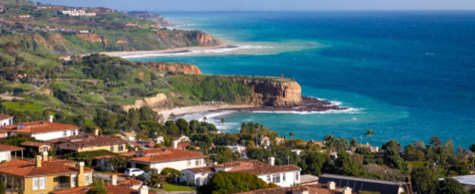
Along rugged coastal terrain like the Big Sur mountains below San Francisco and Palos Verdes Peninsula in Los Angeles, the team pinpointed local zones of downward motion associated with slow-moving landslides. In Northern California they also found sinking trends at marshlands and lagoons around San Francisco and Monterey bays, and in Sonoma County’s Russian River estuary. Erosion in these areas likely played a key factor.
Meanwhile, some parts of the state are experiencing land elevation (uplift). These include Long Beach and the Santa Barbara groundwater basin. Causes of uplift include tectonic and seismic activity, as well as human actions related to oil and gas production.
Read more about the study and how it can inform local policymaking here.